Roxy Ann Afternoon
By NewmanImages
Don’t think of Roxy Ann as a small mountain; think of it as a huge city park!
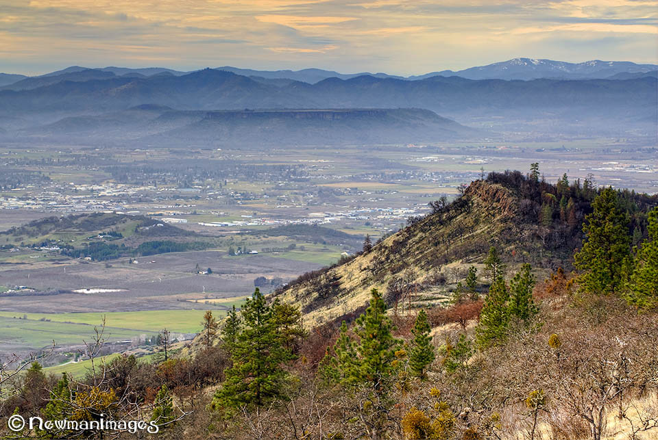
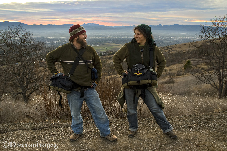
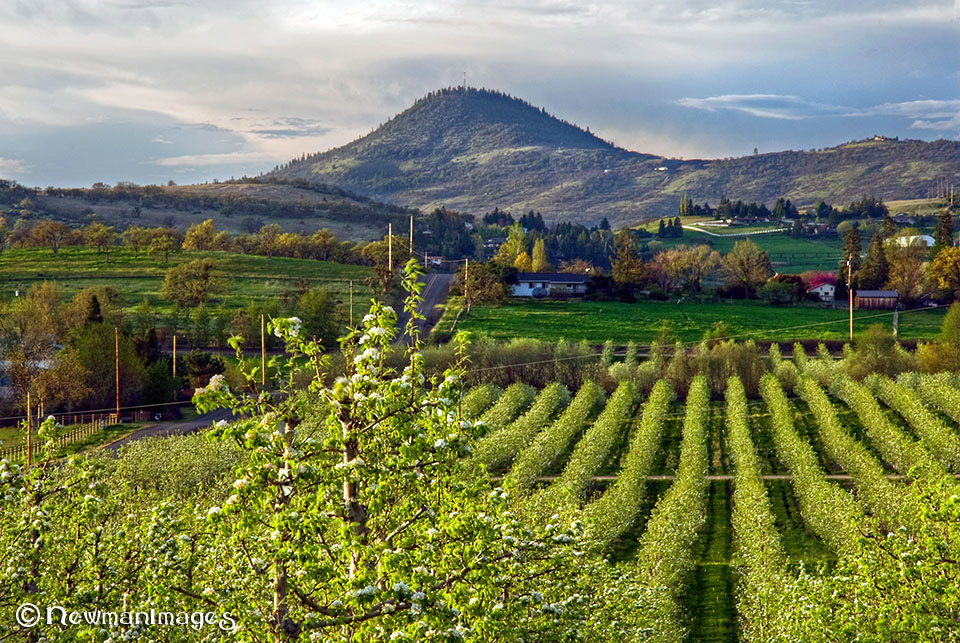
Hidden in Plain Sight: Roxy Ann Peak is a familiar site from I-5, but few Ashlanders realize “that lump over Medford” is a destination in and of itself. The top half consists of Prescott Park—1,740 acres of wild grasslands, diverse forests, and several miles of multi-use trails that overlook the entire Rogue Valley. It makes for a fun wintertime day trip when you want spectacular views but would rather not traverse a snowy mountain road. And when you get back to your car, you’re only 20 minutes from Ashland!
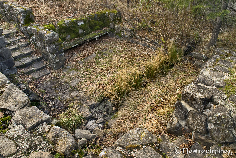
Rocky History: The peak is a volcanic lava plug located at the northern end of the same eroded ridgeline that includes Grizzly Peak and Pilot Rock. The Takelma Indians called it Alwiya. They hunted deer and rabbits up there. Early white settlers called it Skinner Butte (after the local Indian agent). In the 1850s, John and Roxy Ann Bowen moved to the foothills, and John named the mountain for his wife. Prescott Park was named in 1937 in honor of Constable George Prescott, a Medford police officer who was killed in the line of duty. He advocated to keep Roxy Ann a free park for everyone to use.
No Cars Allowed: Until the 1990s, the road to the summit was open to traffic—but then the park became a popular party spot and was overrun with garbage and graffiti. As a result, the upper gate is permanently closed to unauthorized vehicles. That just means less litter and more freedom for hikers, bikers, dog walkers, and equestrians.
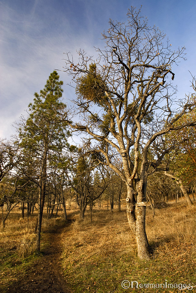
Getting Around: Rated “moderate,” the trail is a four-mile loop system with several side paths (some are quite steep). They’re not well marked, so a trail book would be helpful, or you can simply explore. You’ll venture through sloped grasslands dotted with manzanita, several species of oaks, and massive Pacific madrones—some more than 200 years old. As you ascend to the 3,576-foot summit, the terrain changes to pines, cedars, firs, and radio towers. Poison oak also thrives up there—as do rattlesnakes in the warmer months—so watch your step! Also be on the lookout for elk, deer, bears, cougars, and an impressive array of birds. No camping or fires, but you can hike until after dark (there’s one portable toilet up there). Just make sure you park at the lower gate…or get back to your car before 5:00pm! (You have until 8:00pm in the summer.)
Directions from Ashland: Take I-5 north to Phoenix exit 24, turn right on Fern Valley Road, then left at the first light on S Phoenix Road, which quickly changes to N Phoenix Road. Drive for about 4 miles, turn right on Hillcrest. Drive 3.3 miles, then take a left on Roxy Ann Road. Drive up to the gate and you’re there! (Official site: https://www.ci.medford.or.us/Page.asp?NavID=1197)
NewmanImages is Jay and Sue Newman, two weekend wanders from Ashland. Find us online at Facebook and Smugmug. Check out our booth at the Ashland Artisan Emporium, and look for our images in the new book, Ashland, Oregon, by Barbara Tricarico.