By NewmanImages
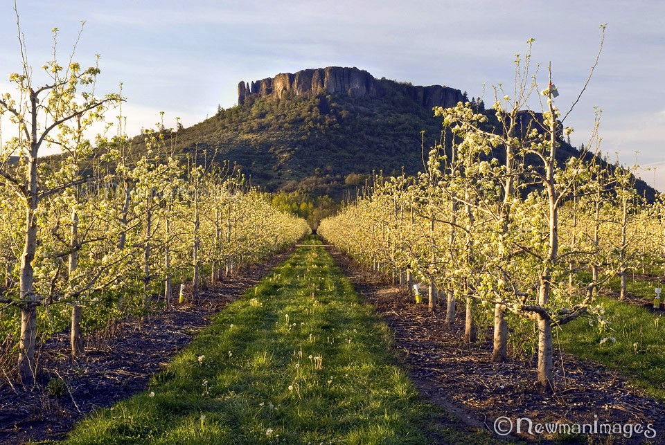
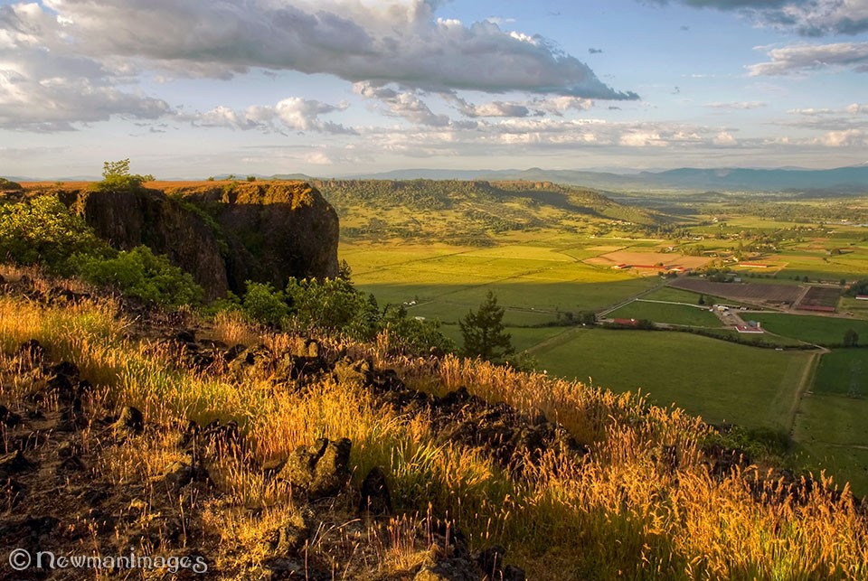
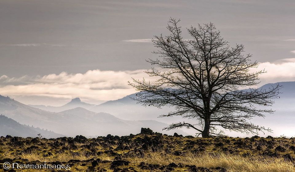
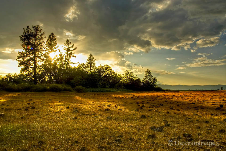
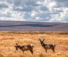
Rising above the northern banks of the Rogue River near Central Point, Upper and Lower Table Rocks will transport you to a land that time forgot. The valley below disappears and you find yourself wandering among carpets of spring wildflowers and lichen-covered lava rock, all surrounded by distant mountains. Hike out to the edge to get a vulture’s eye view of southern Oregon (along with the vultures circling above you).
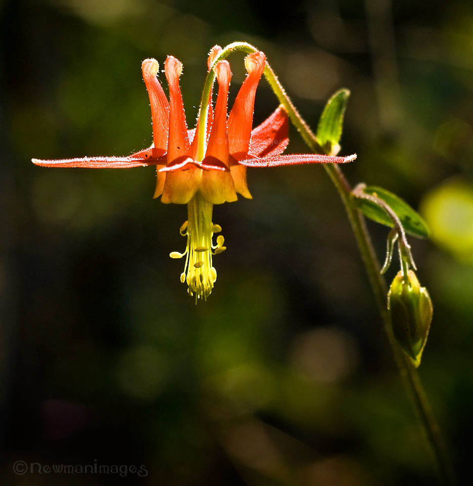
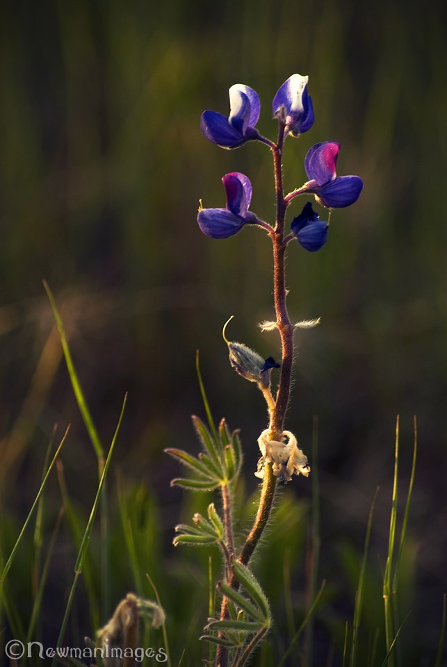
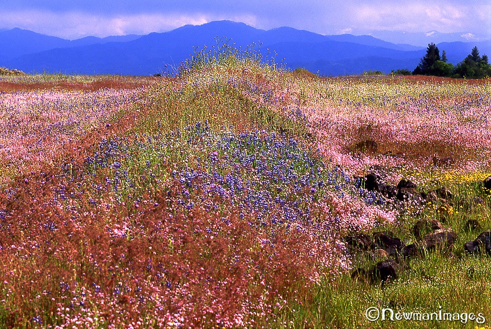
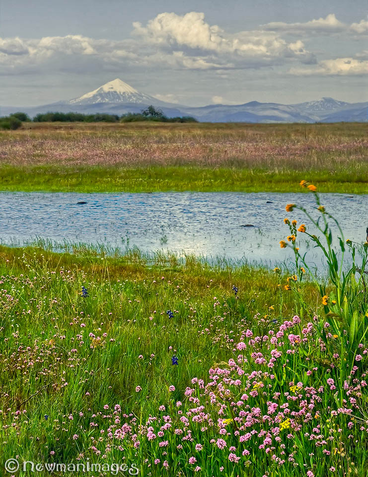
The Wildflowers: Peak spring color can occur from the middle of April to the middle of May. Some years the blanket lasts for a week or more; some years are more sparse. But with more than 75 species of wildflowers, you’re guaranteed some color well into the summer. Keep your eye out for a tiny white flower that grows low to the ground called a dwarf wooly meadowfoam. It exists nowhere else on Earth except for the Table Rocks.
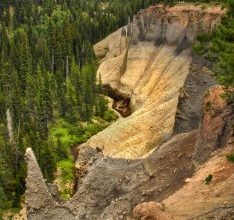
The Geology: About seven million years ago, the horseshoe-shaped Table Rocks were two sharp bends in a river of lava that flowed from a volcano 40 miles to the northeast (near Prospect). After cutting through the weaker sandstone, the lava cooled and hardened into dark andesite. Then, over the next few million years, the Rogue River further carved out the valley, taking most of the andesite and sandstone to the sea and leaving behind these two stubborn rock formations (a great example of what geologists call inverted topography). Today, the porous rocks, nutrient-rich soil and spring rains provide the perfect conditions for a spectacular wildflower walk atop an ancient volcanic river.
The Hikes: Lower Table Rock, the one closest to I-5, is classified as moderate. It’s the longer hike of the two (1.6 miles to the top). The top of Upper Table Rock, classified as easy, is only 1.1 miles from the trailhead. Each hike is about three to five miles round trip, depending on how much wandering you do on the top. There are several well-worn paths to follow, including an old airstrip that cuts across Lower Table Rock. Go to the BLM’s Table Rocks web page for directions and information about guided hikes.
The Rules: Keep in mind that the Table Rocks are protected areas, so tread lightly. No dogs, horses, fires, camping or picking flowers (a few of which are endangered). Also, be cautious of the steep cliffs, poison oak and rattlesnakes. And there’s no water on the trail, so pack wisely, especially during the hot summer months. But most importantly, bring a camera!
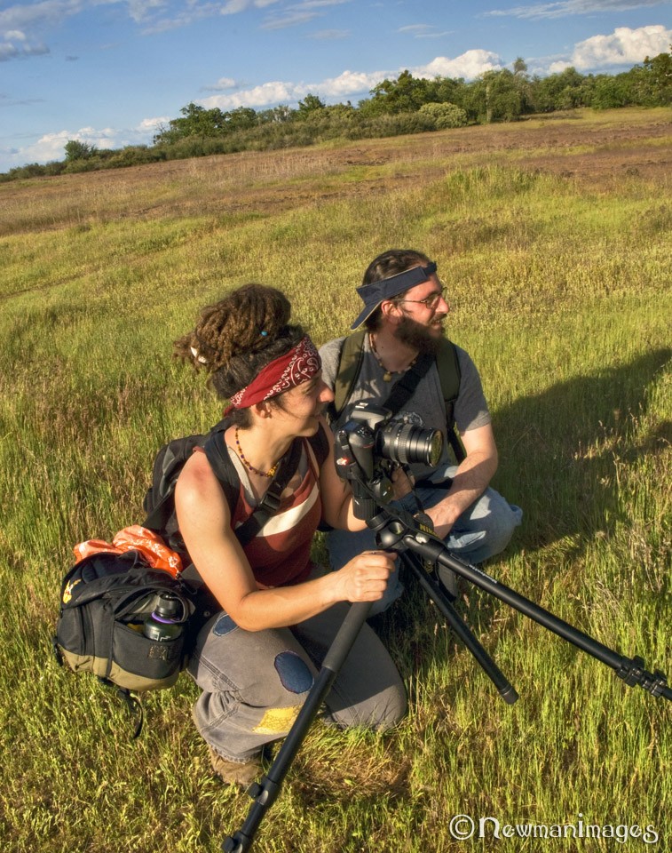 About NewmanImages: We are Jay and Sue Newman, two seasoned weekend wanderers who know where to find beauty in any direction from Ashland. You can find prints and greeting cards of the Table Rocks in our booth at the Ashland Artisan Emporium in the Ashland Shopping Center on Highway 66. (Walk in, take a right, go to the 2nd row from the end, we’re the first booth on the right.)
Like us on Facebook. Prints available at SmugMug.