By NewmanImages
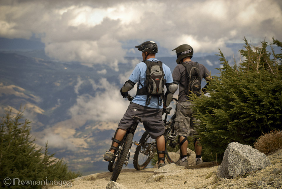
In the summertime, while the Ski Area is quiet, the rest of Mt. Ashland becomes a haven for hikers, bikers, runners, campers, and birders. It’s also a great place to take an afternoon drive. You’re only 45 minutes from the highest point in an entire mountain chain!
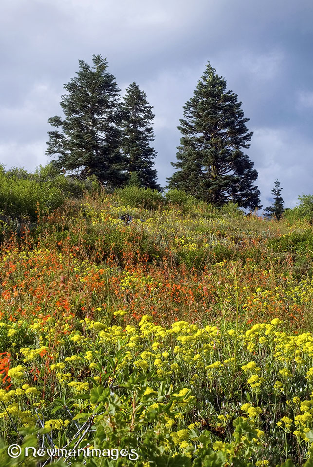
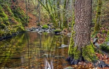
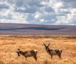
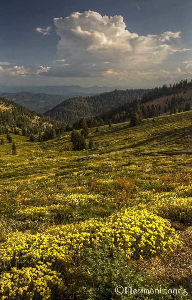
A Confluence of Nature: The Siskiyou range, which skirts southern Oregon and northern California, boasts one of the best wildflower displays in the West. The area owes its rich biodiversity to geography: Unlike most U.S. ranges, which run north to south, the Siskiyous run east to west, bringing them close to or in contact with the Coast Range, the Cascades, the Trinities, and the Sierras. As a result, many of those other ranges’ flora and fauna also reside in our mountains. A few, such as the tiny Ashland lupine, exist nowhere else on Earth. Among the critters you may encounter—black bears, deer, elk, mountain lions, bobcats, coyotes, red and gray foxes, weasels, butterflies, spotted owls and nearly 400 other bird species.
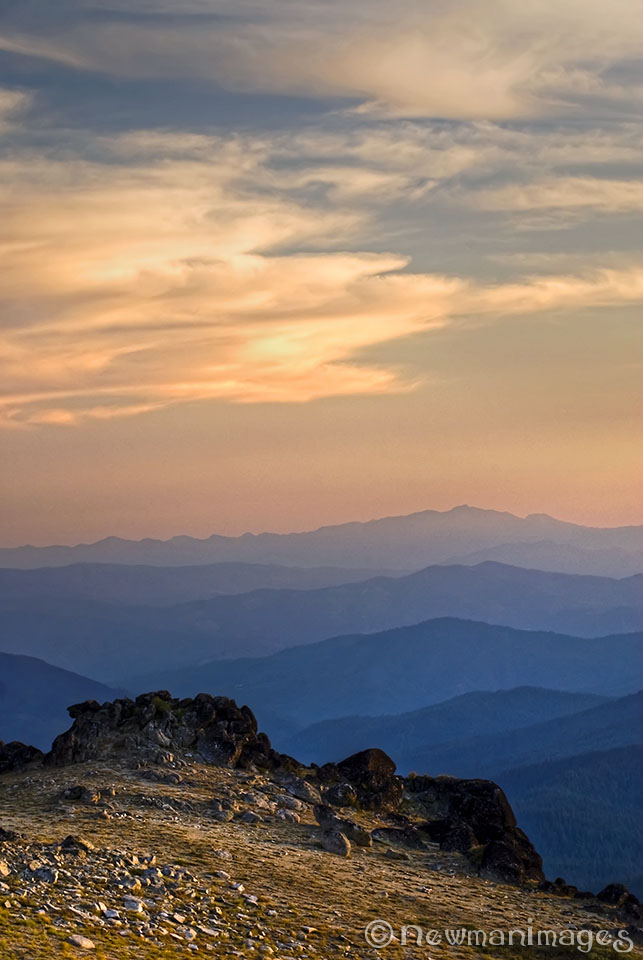
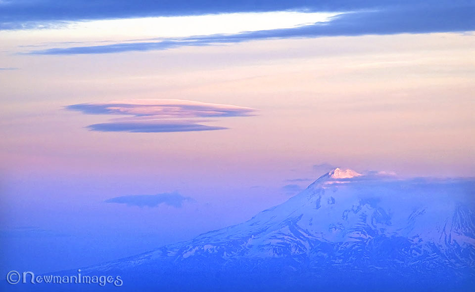
Going Up: To get to the highest point (7,533 feet), you’ll need a four-wheel drive to make it the last mile and a half (or a sturdy two-wheel drive with decent clearance). But if you only have a small car, there’s still lots to see up there, you just might not be able to make it up the spur road. This area is only accessible in the summer months.
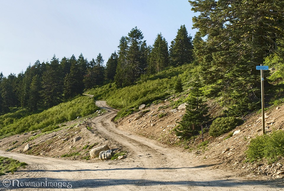
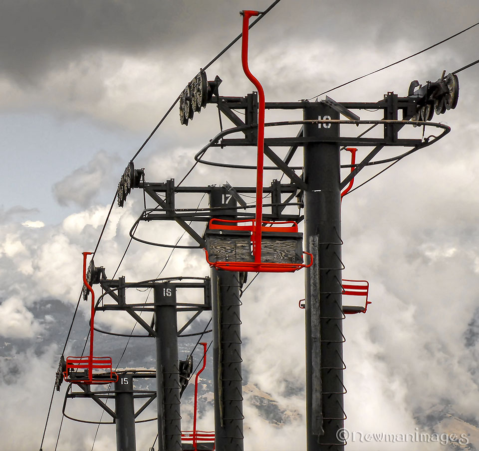
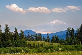
Take I-5 South to Exit 6 and follow the signs to Mt. Ashland Ski Area. Take Mt. Ashland Ski Road (Forest Road 20) nine miles to the Ski Area. Keep going. The pavement ends soon. Shortly after that, keep right at the fork. You’ll soon drive past a free campground (nine sites, first-come first-serve, and no running water, but it has the area’s only restroom). In a little less than one mile after the campground, go right on the spur road (Forest Road 20A). Then it’s 1.5 bumpy miles up to the small parking area just below the summit. There you’ll find the “Big Round Thing” (a weather-radar station operated by the NOAA), a TV transmission facility, the top of the ski lift, and granite outcrops that offer up some of the best vistas you’ll find in Oregon or anywhere else.
Things to Watch Out for: Bears, bikers, hikers, high winds, storms, fires and high cliffs. And tread lightly—many of the mountain’s flora and fauna are threatened or endangered, so stay on designated trails and take only pictures. See you up there!
About NewmanImages: We are Jay and Sue Newman, two seasoned weekend wanderers who know where to find beauty in any direction from Ashland. You can find prints and greeting cards of Mt. Ashland in our booth at the Ashland Artisan Emporium in the Ashland Shopping Center on Highway 66. (Walk in, take a right, go to the 2nd row from the end, we’re the first booth on the right.)
Like us on Facebook. Prints available at SmugMug.